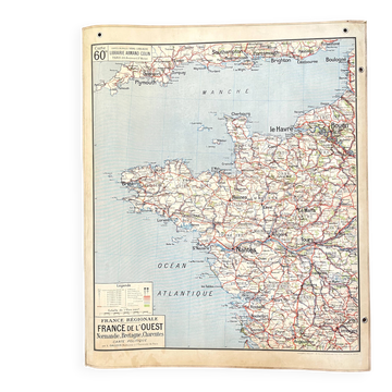
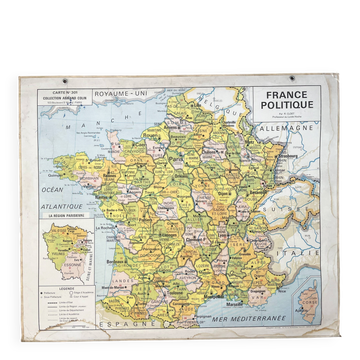
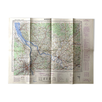
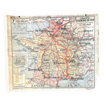
Large school map Vidal-Lablache Paris Basin Northern Region – 1950s

- Dimensions :
- H20 x W119 x D139
- Color :
- multicolour
- Material :
- paper
- Style :
- vintage
A spectacular wall map from the classroom. Measuring nearly 1.20 m wide, this vintage Vidal-Lablache school map is hard to miss. Dedicated to the Paris Basin and the Northern Region, it belongs to the large wall maps that once accompanied geography lessons. It is printed on both sides: one side features a particularly detailed political map with cities, departments, borders, and communication networks, while the other side showcases a physical map with beautiful shades of green, yellow, and ochre, allowing for the reading of reliefs, waterways, and major natural regions. Published by Librairie Armand Colin in the famous series of Vidal-Lablache wall maps, this map no. 61 / 61 bis was created by L. Gallois, a professor at the University of Paris. Its rigid cardboard support, reinforced edges, and metal eyelets immediately recall its use in classrooms. A very large piece that today becomes a spectacular wall decoration in an office, library, vintage interior, or family home. In generally good vintage condition. There are signs of age, marks, and minor wear mainly on the light edges and peripheral reinforcements, visible in the photographs. The cartography remains very beautiful and perfectly legible. Shipped flat to preserve the map and avoid any risk of creasing or damage during transport. Dimensions: approx. 119 × 99 cm. ️ School wall map printed on both sides. ️ Side 61 bis: political map. ️ Side 61: physical map. Publisher: Librairie Armand Colin. ️ Cartography: L. Gallois. Series: Vidal-Lablache wall maps. Map no. 61 / 61 bis. Rigid cardboard support with reinforced edges. 2 metal suspension eyelets. Printed in France – Dufrénoy, Paris. ️ From the 1950s. Condition: good vintage condition, signs, marks, and wear on the light edges. Shipped flat to preserve the map and avoid any risk of creasing or damage during transport.
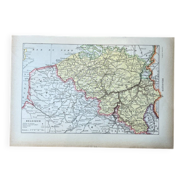
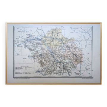
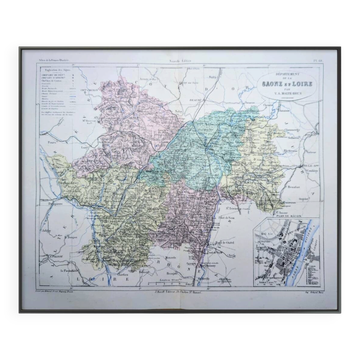
Earth globes & geographical maps: other similar vintage pieces
Discover more similar items- -11%
- -14%