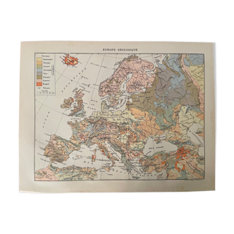
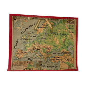
Old illustrated map of Normandy 1929 - JP Pinchon
🙈 Oops, this product is already sold or unavailable. Discover our 1500 new products or products similar to this item !
- Color :
- multicolour
- Material :
- paper
- Style :
- vintage
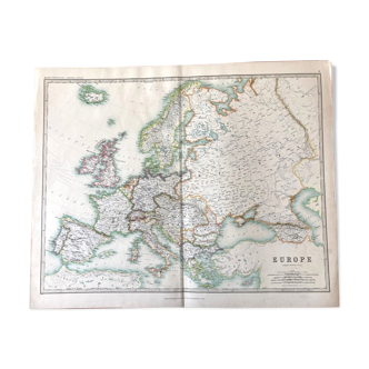
Old map of normandy, illustrated by émile-joseph-porphyre pinchon (the cartoonist of the comic strip bécassine), extracted from an old atlas on the history of the world. Visible signature of j.p. Pinchon. 💎 all lithographs and maps in this account are originals and not copies. Date: 1929. Dimensions: 29.7 X 23.5 cm. To be framed. Perfect for a children's room. Deco, decoration, vintage, gift idea and country house. Geography france manche calvados eure orne seine maritime caen cherbourg avranches etretat lisieux elboeuf evreux rouen le havre flers isigny deauville honfleur trouville.
4.97 ()