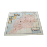
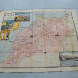
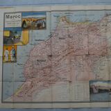
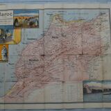
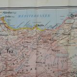
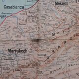
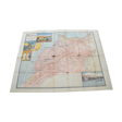
Toutey, Morocco map table
- Dimensions :
- H122 x W97
- Color :
- multicolour
- Material :
- paper
- Style :
- vintage
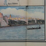
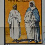
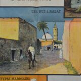
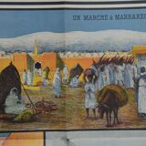
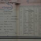
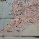
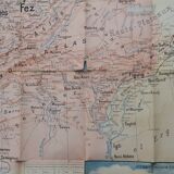
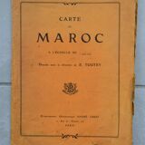
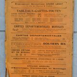
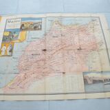
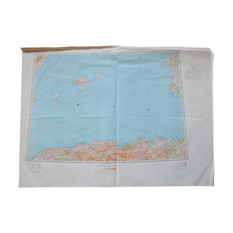
This is a sacred piece of history that I present here! Beautiful and large school map in colors of Morocco, Toutey edition, 1913. Lithograph printed in colors. The map is 122cm by 97 cm. It shows damaged places. Once folded it is as big as a school notebook. It was drawn up under the direction of Émile Toutey, according to the most recent documents of the expeditionary force, and with the benevolent assistance of Jacques Ladreit de Lacharrière, teacher and author of several works on Morocco. The course of the rivers, the streams, the movements of the ground, the mountain ranges, the main peaks, the important passes are shown there, as well as the names of the large regions, the territories of the main tribes, the cities, the villages, the markets, the communication routes and the tracks. A Franco-Arabic lexicon accompanies the map and explains the geographical terms specific to Muslim countries. Four watercolors illustrate the card: market in Marrakech, street in Rabat, Moroccan types, and view of the city of Azemmour and the Oum Errabia River. Colors may differ between screen and reality. ----------------------------------------------------------------------------------------------------- For this precious and expensive item I only offer delivery by colissimo. I would not join another order with it either. Always with a view to preserving our planet, I only post packages once a week. If the order is urgent, please contact me!
4.67 ()
