Illustrated ribbon map from London to Barwick (continued)
- H24 x W30
- paper
- multicolour
2 ()
Description
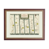
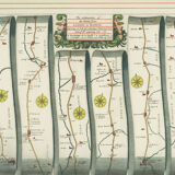
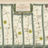
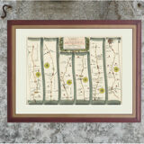
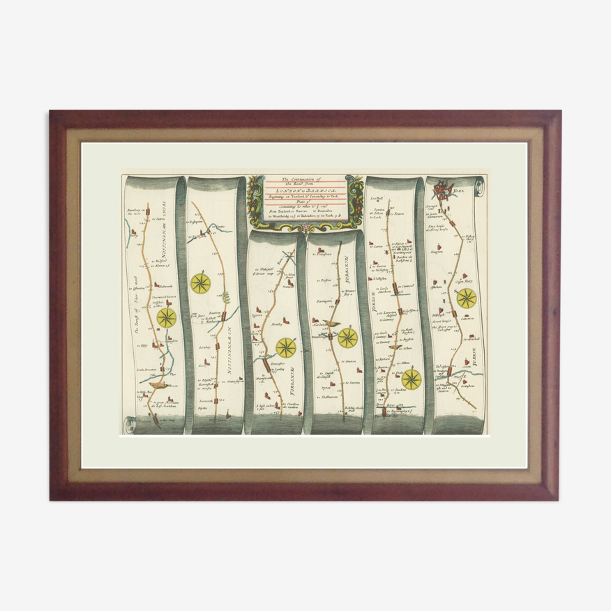
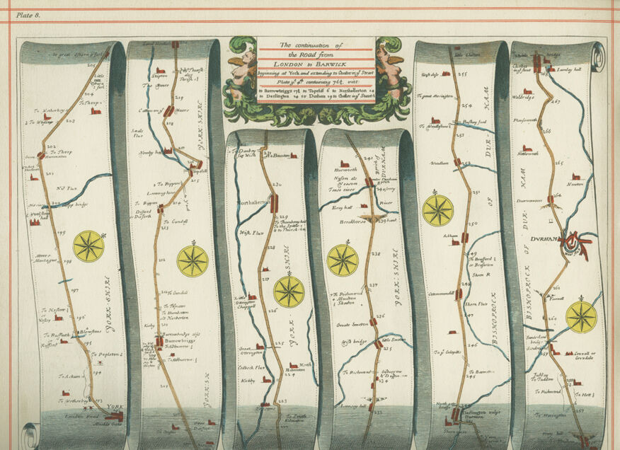
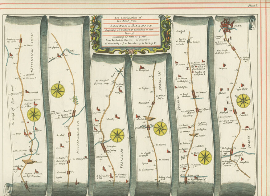
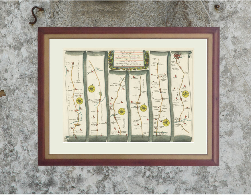
Unframed double-sided plate from a facsimile published in 1939: a sheet of paper with a map on each side. The original maps were printed in 1675 at the author's home in Whitefriars, London. In 1719 a paperback was published: "A pocket-guide to the English traveller: being a complete survey and admeasurement of all the principal roads and most considerable cross-roads in England and Wales." This book contained hand-colored engravings and is rare and very expensive! The ribbon or strip map shows the route from one place to another and what can be seen from a trainer or horse, rather than a status map showing the entire campaign. The paper is cream in color and the color bright. Each board in this collection has a serrated edge where it was once tied and a red border that in most cases is usable, although it can be covered with a mat. Paper size: 30 X 24 cm. For overseas shipments via Mondial Relay, let me know your country and I will add the information to the announcement.
Ref. : 5Z2GV94V
- Dimensions :
- H24 x W30
- Color :
- multicolour
- Material :
- paper
- Style :
- vintage
2 ()

Return your item within 14 days
Cherry-picked items
Carrefully selected sellers
100% secured payment