
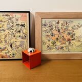
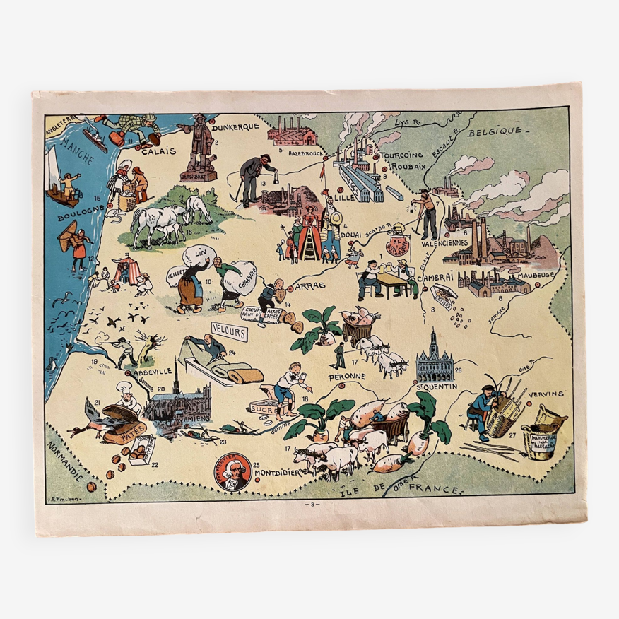
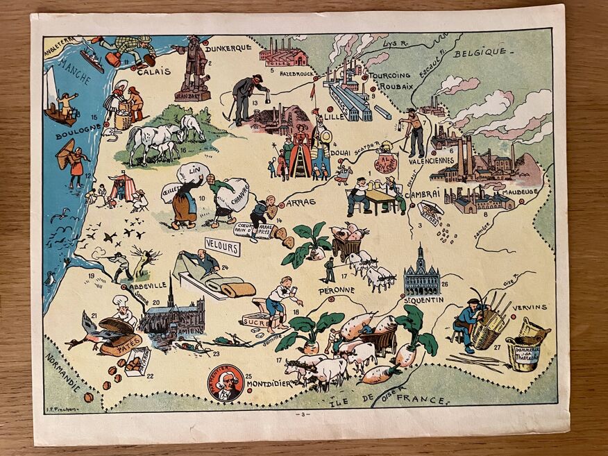
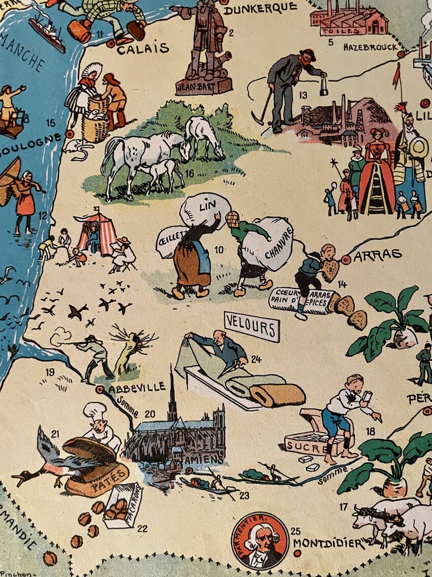
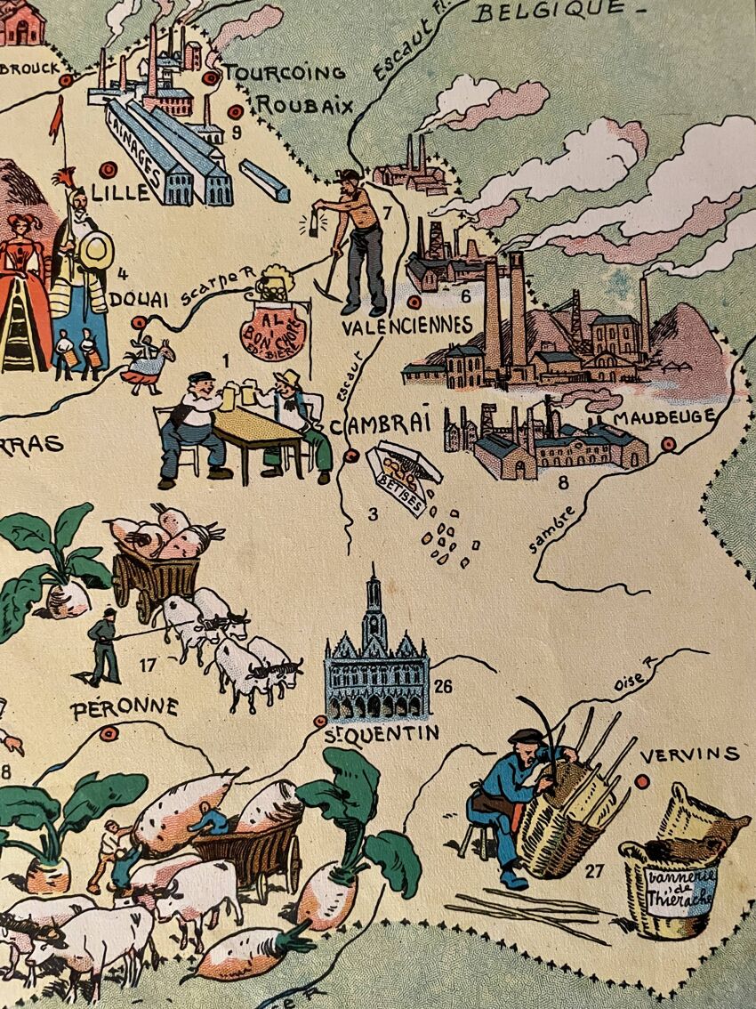
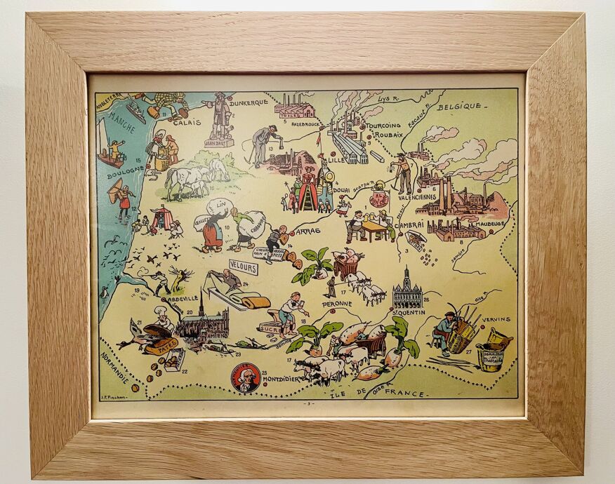
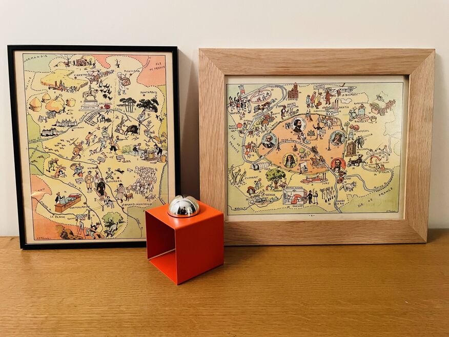
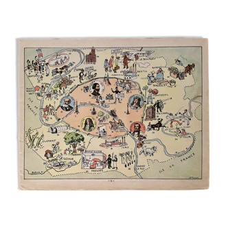
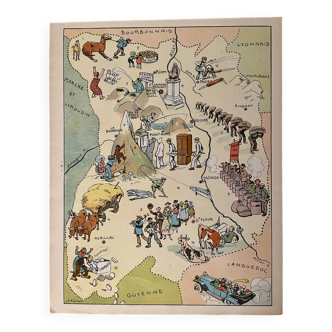
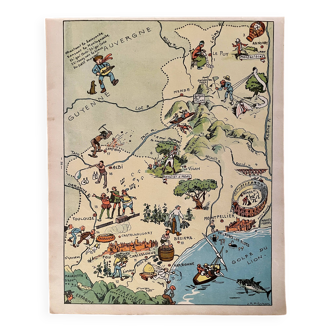
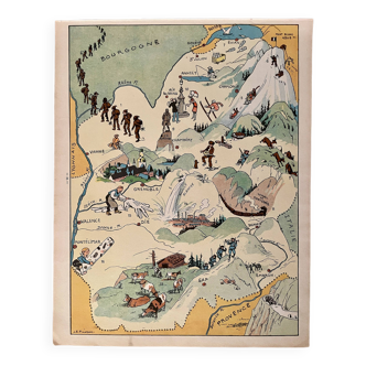
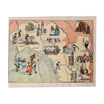
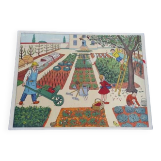
Old poster illustrated map of Flanders Artois Picardy 1939 - JP Pinchon
- paper
- multicolour
4.95 ()
Description
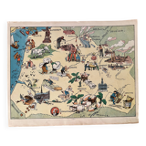
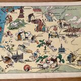
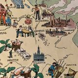
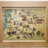
Old map of the flanders artois picardie regions, illustrated by émile-joseph-porphyre pinchon (the designer of the bécassine comic strip), taken from an old atlas of france. Visible signature of jp pinchon 💎 all lithographs and cards on this account are originals and not copies date: 1939 dimensions: approximately 23.5 X 29.7 cm to be framed decoration, decoration, vintage, gift idea and country house geography, france, amiens, somme, abbeville, saint quentin, aisnes, lille, maubeuge, valenciennes, tourcoing, roubaix, dunkerque, calais, boulogne, arras, pas de calais, nord, béthune, montreuil, hazebrouck, st pol, douai, santerre, cambrai.
Ref. : 5WBXGK2H
- Color :
- multicolour
- Material :
- paper
- Style :
- vintage
4.95 ()
Return your item within 14 days
Cherry-picked items
Carrefully selected sellers
100% secured payment