
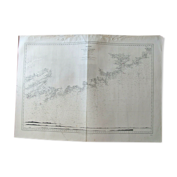
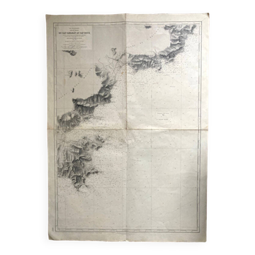
Nautical chart From Diélette to Omonville - Guernsey
€40€80

Nautical chart From Diélette to Omonville - Guernsey
€40€80
Nautical chart, chart raised in 1832 and 1833 by the hydrographers of the navy under the orders of mr. Beautemps beaupré, chief hydrographer engineer. This map is a reprint of edition n°6. Engraved the extract and the topography by e collin, son the letter by hacq. It measures 105 X 74.
Earth globes & geographical maps: other similar vintage pieces
Discover more similar items- -37%
- -11%
- -14%
- -46%
- -34%
- Sold out
Item 1 of 20