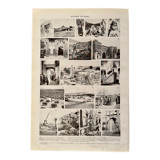
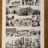
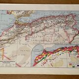
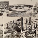
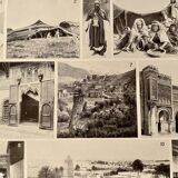
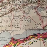
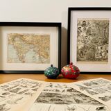
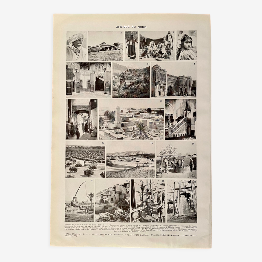
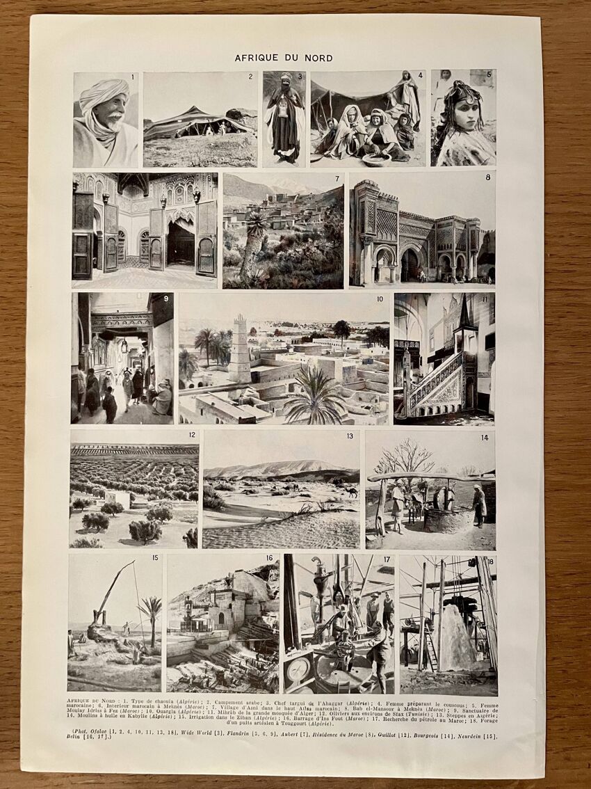
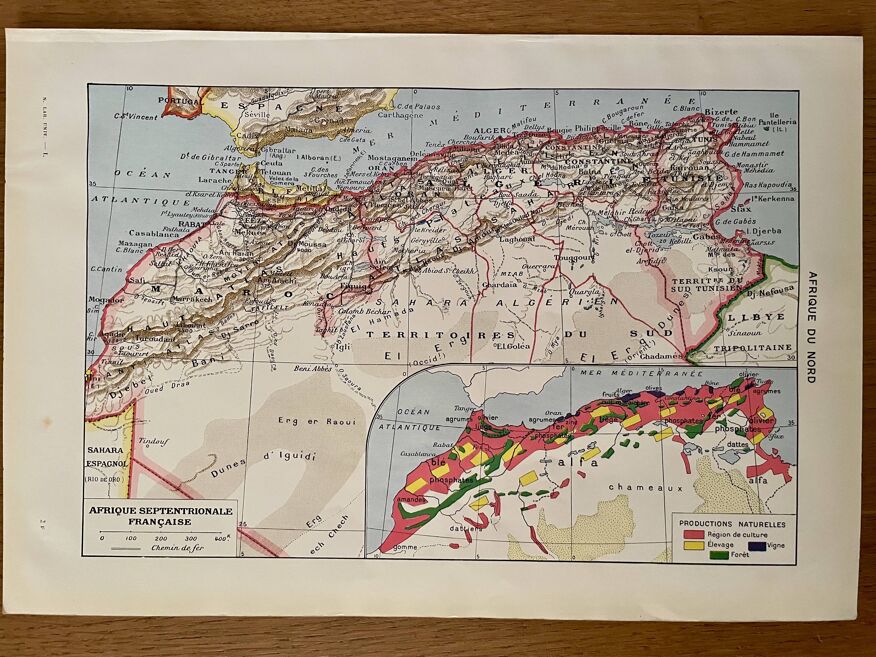
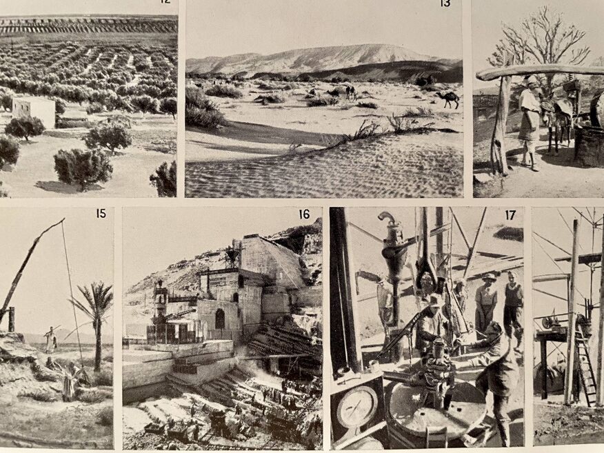
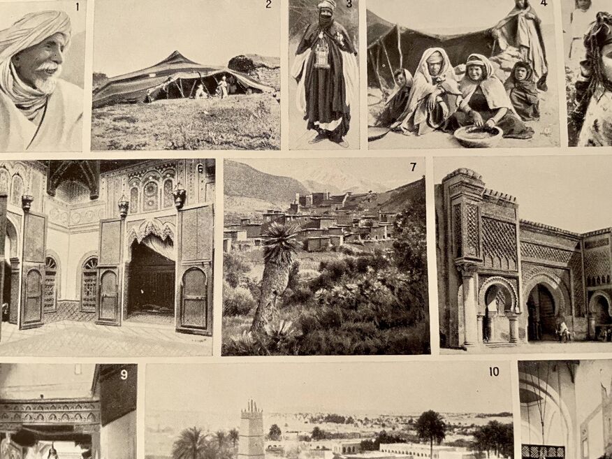
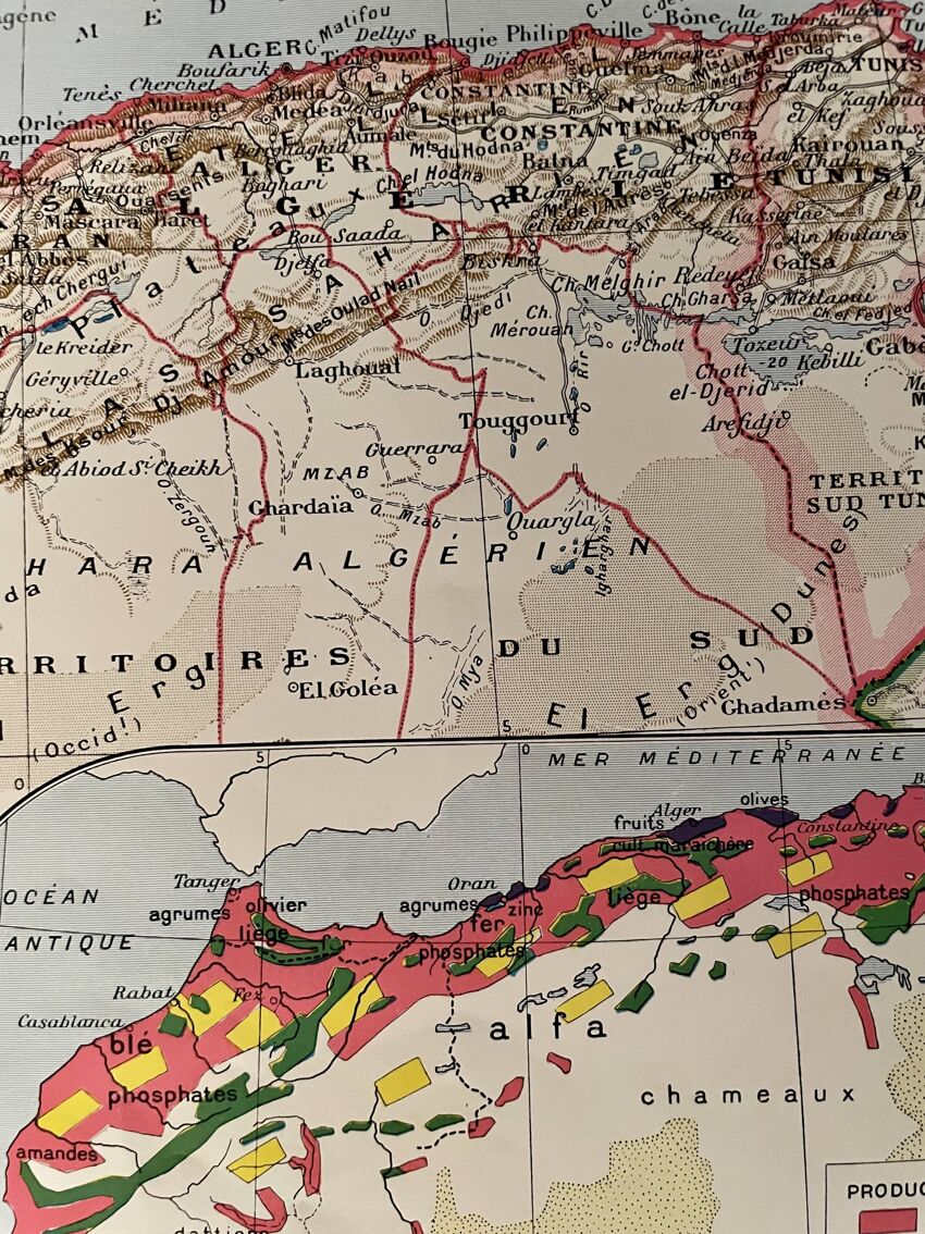
Illustrated plate and map of North Africa - 1920
- paper
- multicolour
4.95 ()
Description
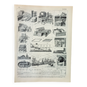
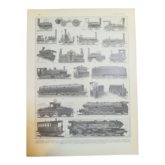
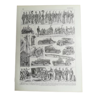
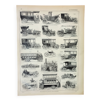
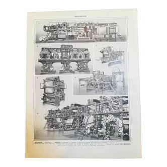
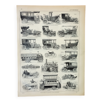
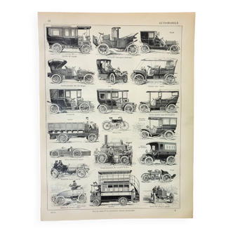
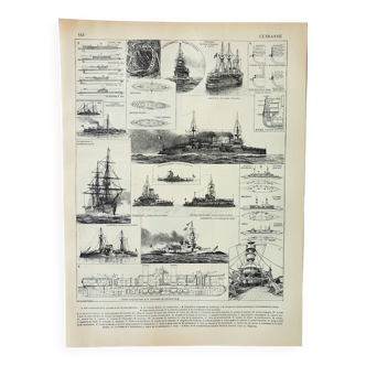
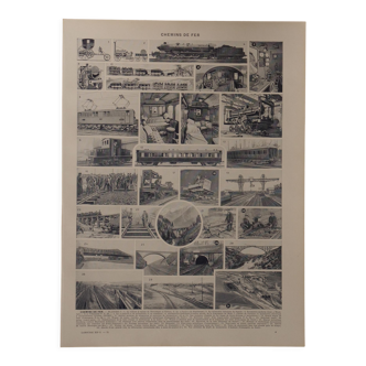
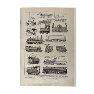
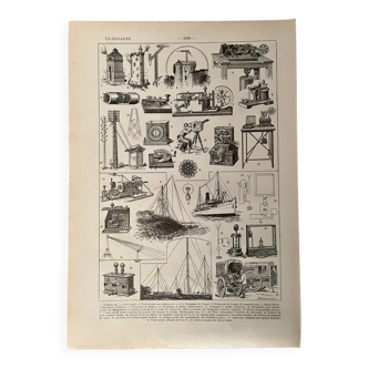
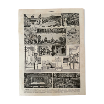
Illustrated plate and map (on the back) on north africa (original) taken from an old encyclopedia. 💎 all lithographs and maps in this account are originals and not copies. Other lithographs and illustrated maps on north africa (tunisia, algeria, ...) etc. Also available on this account. Date: publication of the book in the 1940s. Dimensions: 20 X 29 cm. To be framed. Decoration, decoration, vintage, gift idea and country house. World, travel, ethnography, algeria, maghreb, africa, tunisia, kabyles algiers, camel, arts, pez morocco bedouin mosque film and film set ethnography kabylie.
Ref. : 1WT69CH7
- Color :
- multicolour
- Material :
- paper
- Style :
- vintage
4.95 ()

Return your item within 14 days
Cherry-picked items
Carrefully selected sellers
100% secured payment