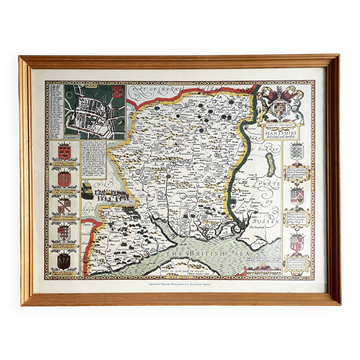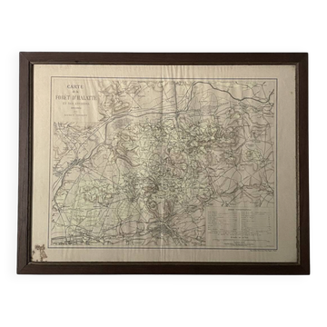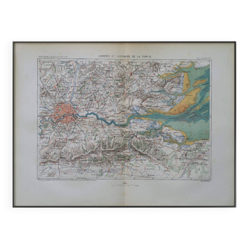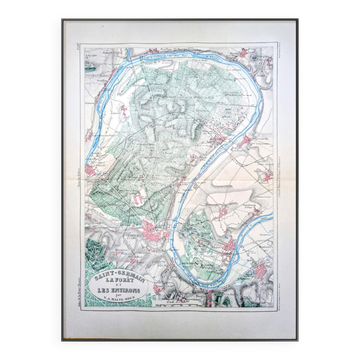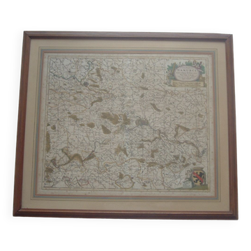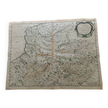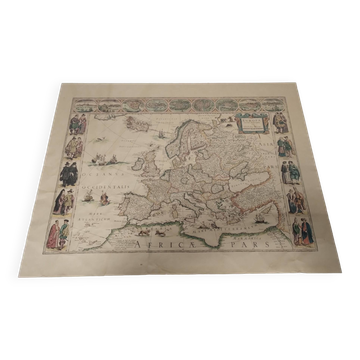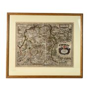
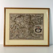
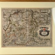
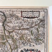
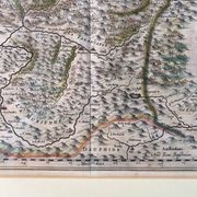
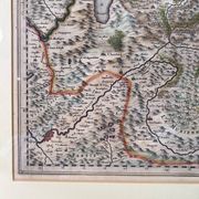
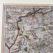
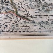
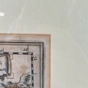
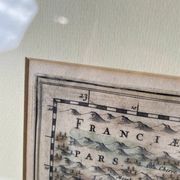
Geographical map of Savoie by Johannes Janssonius, engraving from the 17th century.
This item has found its owner, but other one-of-a-kind items await you. 👇
Discover similar items- Dimensions :
- H57 x W67 x D3
- Color :
- multicolour
- Material :
- paper
- Style :
- classic
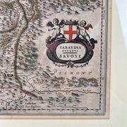
Old geographical map of the Duchy of Savoy by Johannes Janssonius, enhanced engraving from the 17th century, Sabaudia Ducatus, Jan Jansson, Amsterdam, 17th century, engraving. Map of the Duchy of Savoy and its borders (Piedmont, Dauphiné, Bresse, Valais). Work by the Dutch cartographer Johannes Janssonius, published in Amsterdam during the 17th century. Print taken on vergé paper, derived from a copper engraving in intaglio. Deeply marked and perfectly legible impression area around the edges. Print enhanced a posteriori by manual watercolour colouring delineating the territories and geographical features. Detailed topography depicting the mountainous relief through a system of mounds, forests, as well as the hydrographic network distinctly including Lake Geneva (Lacus Lemanus), Lake Bourget, and Lake Annecy. Towns and villages represented by small architectural features. Ornamentation includes a large title cartouche to the east of the composition, titled "Sabaudia Ducatus Savoye". Text framed by a decoration of rolled leather, flanked by two cherubs (putti) supporting the heraldic arms of the House of Savoy. Presence of two distance scales at the top right. Edition mention "Amsterdami. Apud Joan: Janssonium." engraved at the bottom centre. Excellent condition. Generous white margins preserved beyond the mark of the press. Expected presence of the central vertical fold, inherent to the original atlas binding. Sound paper, fresh colours. Contemporary mounting under an English bevelled mount, protective glass, and natural varnished wooden frame. Measurements: • Dimensions at the plate: 46 X 37.5 cm. • Frame dimensions: 67 X 57 cm.
Earth globes & geographical maps: other similar vintage pieces
Discover more similar items- -28%
- Sold out
- -12%
- -75%
- -31%
- -33%
- -11%
- -12%