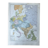
Old Hatier Trotignon map 220-21, 1950 Europe 16th 17th Renaissance

- Dimensions :
- H88 x W100
- Color :
- multicolour
- Material :
- paper
- Style :
- vintage
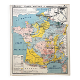
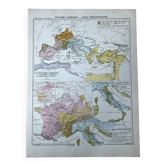
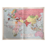
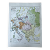
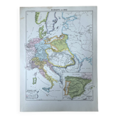
🌐 Old historical school map representing Europe in the sixteenth and seventeenth centuries (Renaissance, Wars of Religion) 🌐 Original collection by Y. Trotignon. 1950s. Hatier Bookstore, Rue d'Assas, Paris. Graindorge Cartography Workshop - Michard Printing, Paris. Polychrome cardboard poster. Dimensions: 100 × 88 cm. Front: 220 The religious crisis in the 16th century (Augsburg, Trent, Nantes, Lepanto, Wittenberg, Rome, Geneva...) Back: 221 Europe in the first half of the 17th century (Westphalia, La Rochelle, Rocroi, Holy Roman Empire, The Dunes...) Cards: Legend, The Netherlands, Formation of Prussia. Very good condition: brass eyelets and paper border present, a few minor signs of use (see photo). Beautiful patina, preserved colours, and historical interest. Ideal for vintage decoration, collection, or original gift! FREE SHIPPING FOR THIS MAP (in France, via Relais Colis or Colissimo). For abroad, costs will be calculated based on the destination (international Colissimo). Map carefully shipped in a thick cardboard prism in France or abroad (worldwide). All types of payment accepted: bank transfer, PayPal, cheque, or through the website. In-person collection possible in Lyon (payment in cash or PayPal). Discount for multiple posters and maps purchased from my listings. Over 300 old posters and maps to discover on VintAffich: Auzoux, Belin, Boucau, Bourrelier, Bruley, Brunhes, CDN, Colin, Delagrave, Deyrolle, Galtier-Boissière, Gibert, Hachette, Hatier, Kaeppelin, La Pie, Maltruchot, Mézières, MDI, Nathan, Ogé, Peyre, Rossignol, Scolathèque, Teissier, Trotignon, Varon, Vidal-Lablache. 220H1.
Earth globes & geographical maps: other similar vintage pieces
Discover more similar items- -23%
- -11%