Unavailable


Item 1 of 11
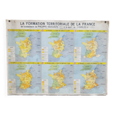
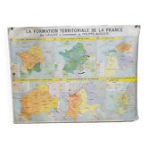
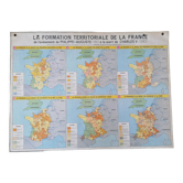
School map "The territorial formation of France"
This item has found its owner, but other one-of-a-kind items await you. 👇
Discover similar items- Dimensions :
- H92 x W126
- Color :
- multicolour
- Material :
- paper
- Style :
- vintage
Laminated mdi school map from 1962. It represents the territorial formation of france from louis XV to the present day on one side and from philip augustus to charles V on the other. Good general condition, the plastic peels off in the corners, it can be removed if necessary. Other educational maps and posters available in my shop.
Earth globes & geographical maps: other similar vintage pieces
Discover more similar items- -29%
- -29%
- -36%
- -13%
- -30%
- -30%
- -33%
- -14%
- -30%
- -14%






Item 1 of 20