Saint Christophe vintage IGN map
- H54 x W68
- paper
- multicolour
4.93 ()
Description
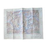
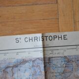
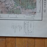
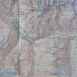
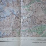
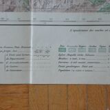
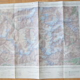
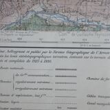
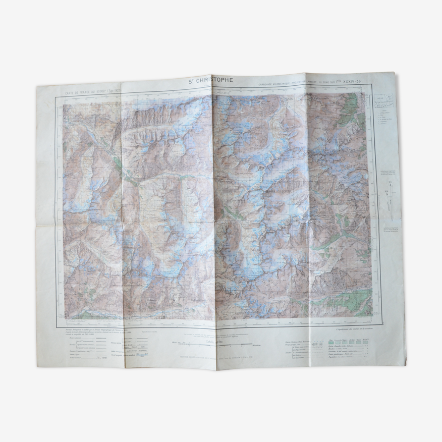
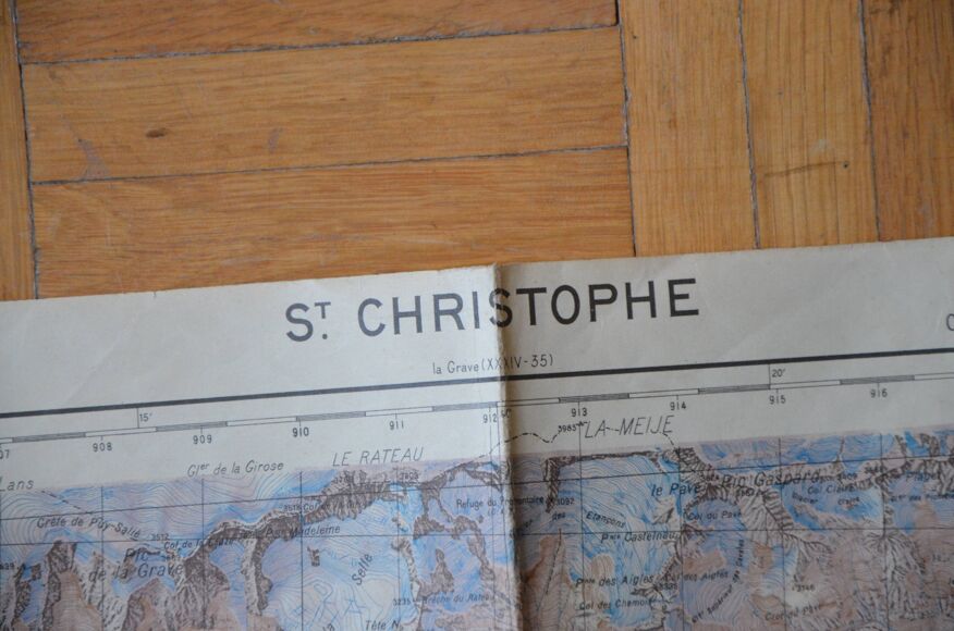
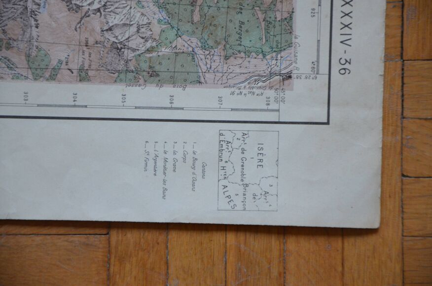
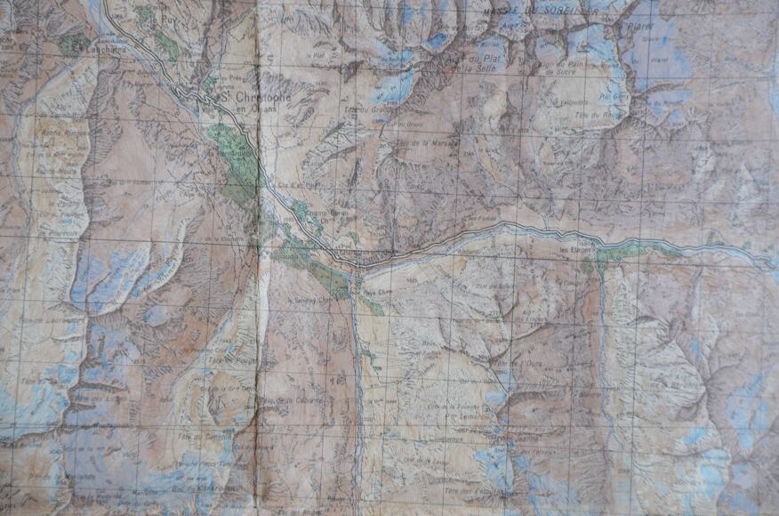
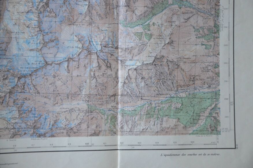
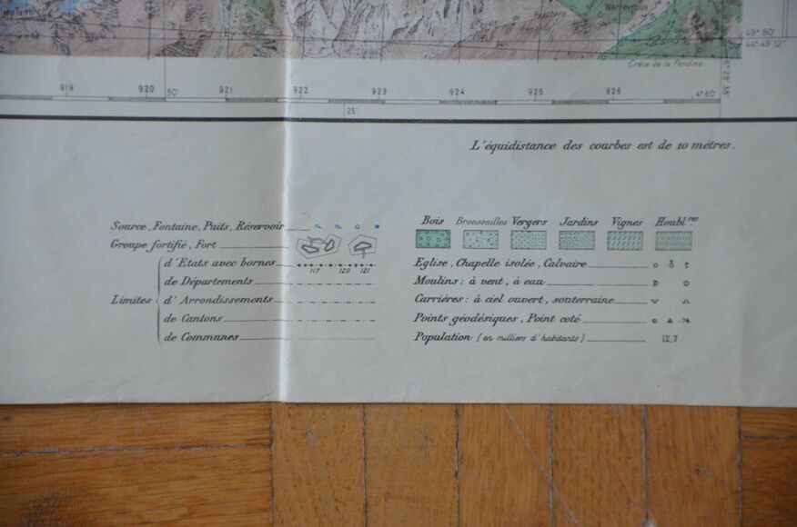
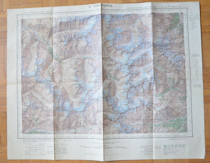
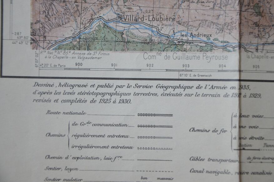
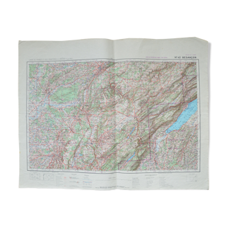
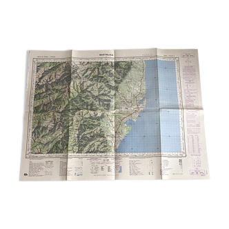
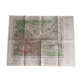
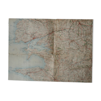
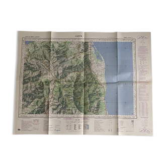
Map Saint Christopher. Drawn heliograved and published by the geographical service of the army in 1932 according to terrestrial stereographic surveys, carried out in the field from 1921 to 1929, revised and completed from 1925 to 1930. Magnetic declination of 1935. Mileage grid, Lambert projection. The map is 68 cm wide and 54 cm high. Colors may differ between the screen and reality. ----------------------------------------------------------------------------------------------------- I live abroad but from July 7, 2023 to September 30, 2023 I will be in France. Take the opportunity to order! ----------------------------------------------------------------------------------------------------- If you want to buy several items at the same time, let me know: I recalculate the shipping costs and refund the overpayment. ----------------------------------------------------------------------------------------------------- all items are carefully packaged. The packaging I use is recycled, which avoids waste and reduces costs. Always with a view to preserving our planet, I only mail packages once a week. If the order is urgent, please contact me!
Ref. : TBTTVGT3
- Dimensions :
- H54 x W68
- Color :
- multicolour
- Material :
- paper
- Style :
- vintage
4.93 ()

Return your item within 14 days
Cherry-picked items
Carrefully selected sellers
100% secured payment