Vintage map
- H120 x W100
- paper
- multicolour
4.65 ()
🙈 Oops, this product is already sold or unavailable. Discover our 1500 new products or products similar to this item !
Description
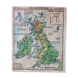
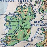
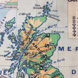
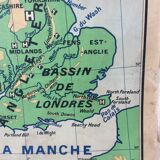
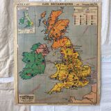
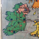
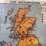
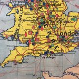
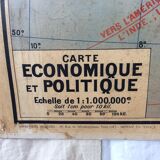
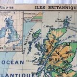
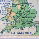
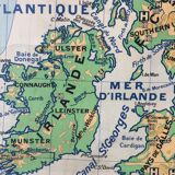
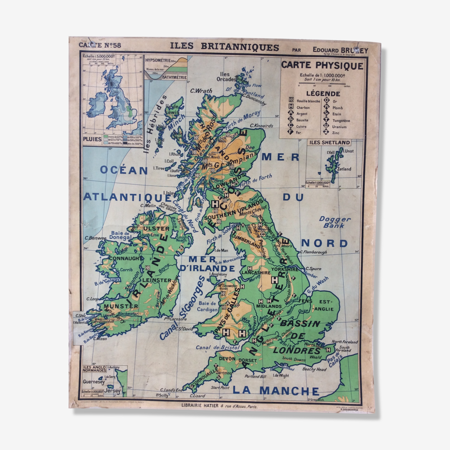
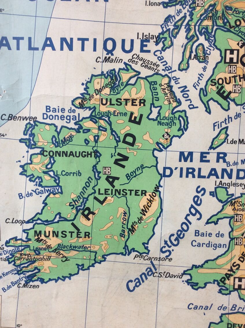
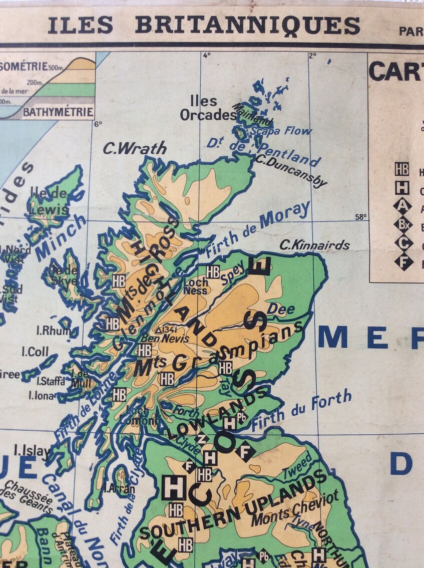
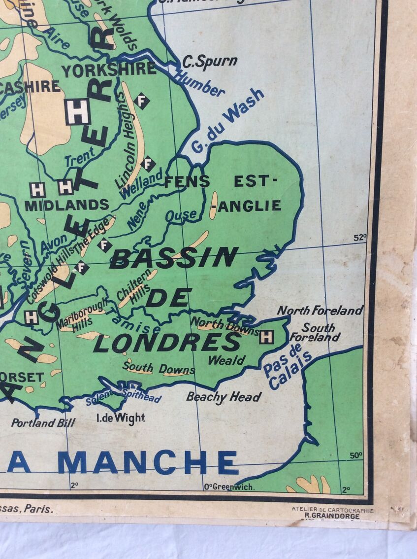
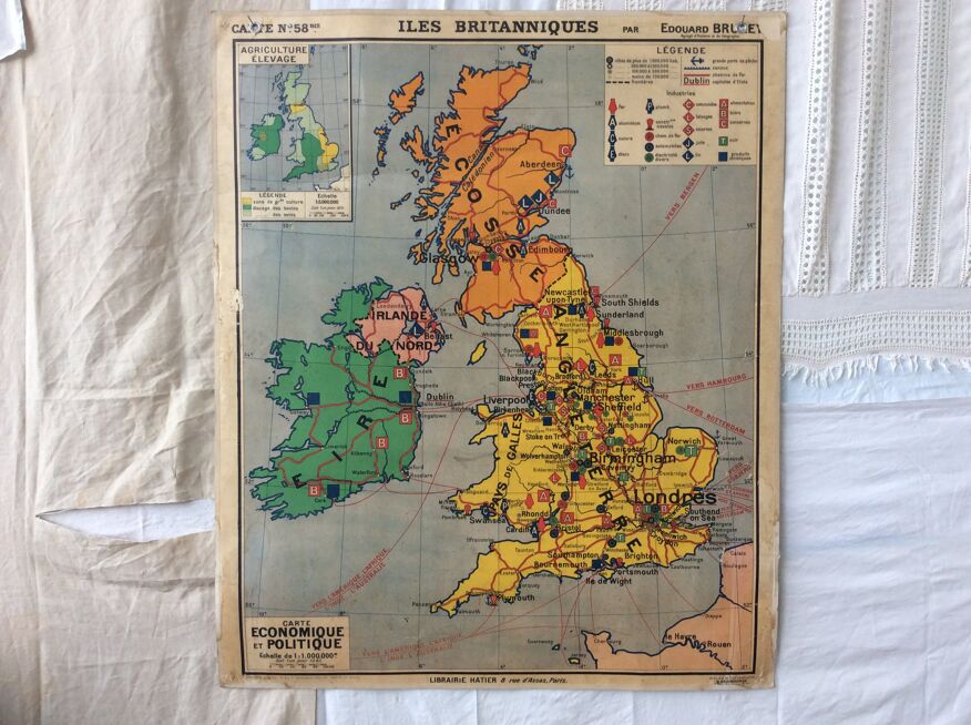
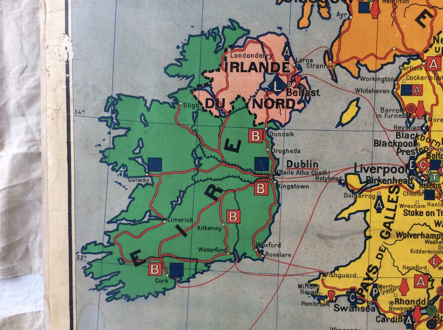
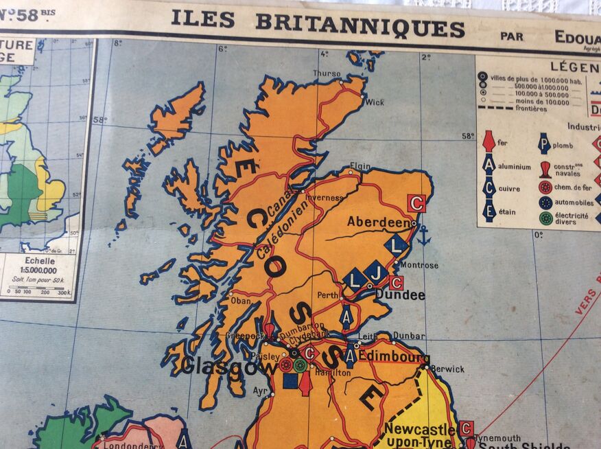
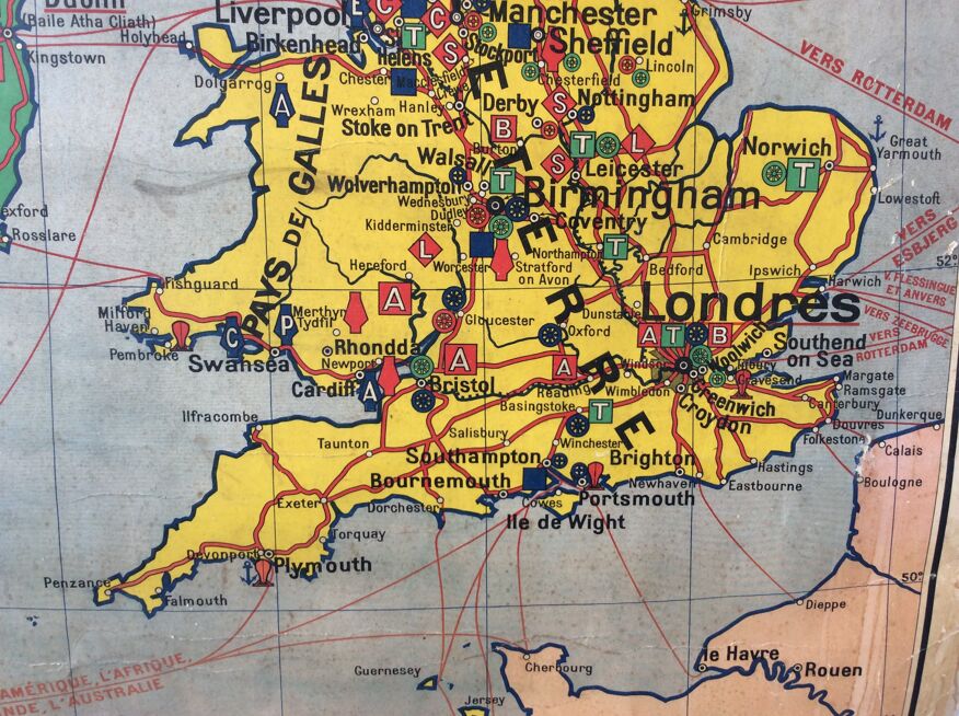
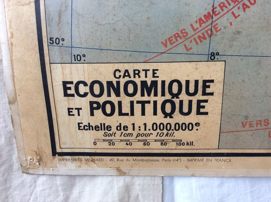
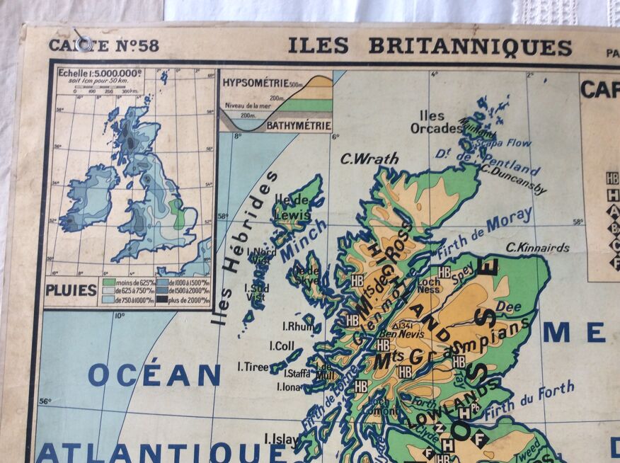
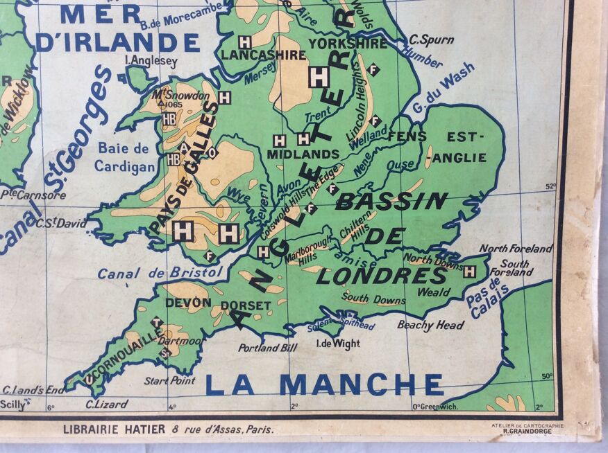
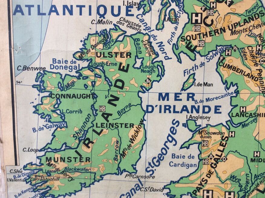
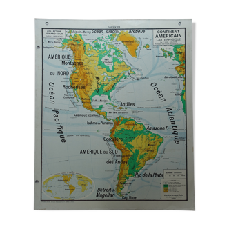
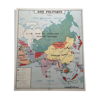
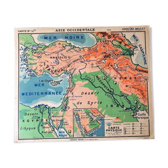
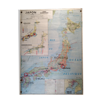
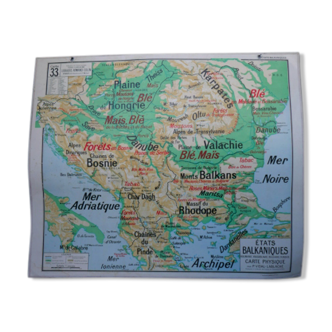
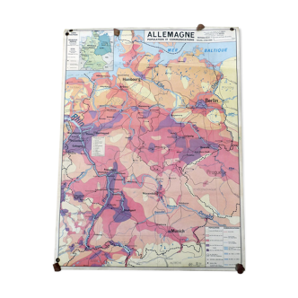
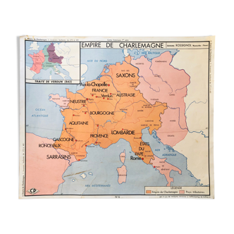
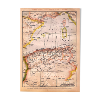
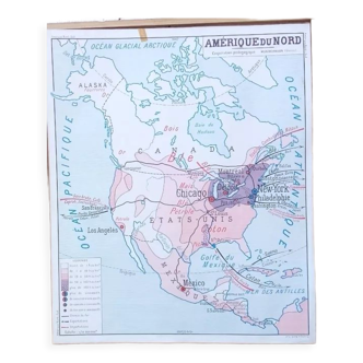
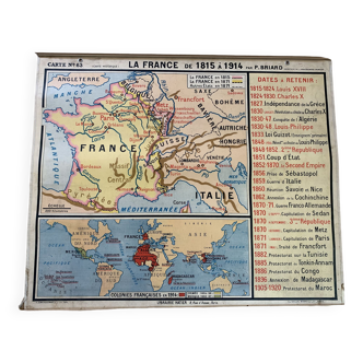
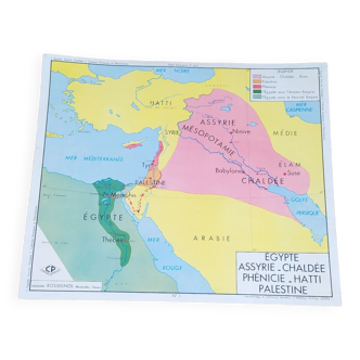
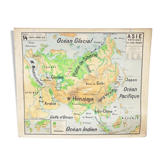
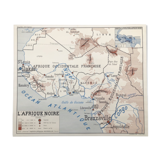
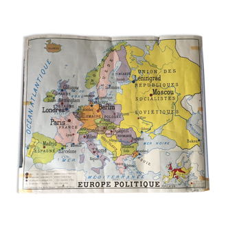
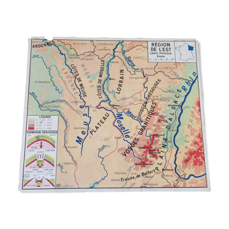
Geographical map used in schools in the 60s - representing the british isles with a front and back (physical, economic, political and agricultural map, livestock) - it has 2 eyedilles to fix it - comes from the hatier bookstore in paris - one side the colors are soft, on the other more flashy - some traces of time, but the whole remains in good condition - a lot of charm.
Ref. : HCTQKDBW
- Dimensions :
- H120 x W100
- Color :
- multicolour
- Material :
- paper
- Style :
- vintage
4.65 ()
Return your item within 14 days
Cherry-picked items
Carrefully selected sellers
100% secured payment