Tableau carte Toutey, Morocco
- paper
- multicolour
4.93 ()
Description
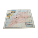
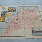
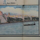
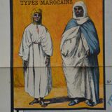
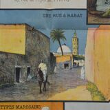
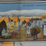
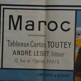
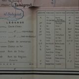
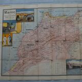
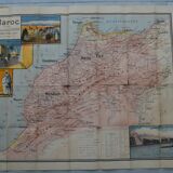
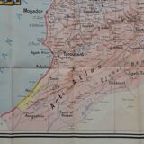
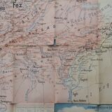
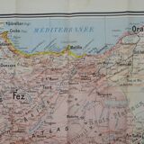
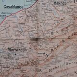
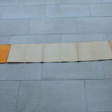
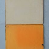
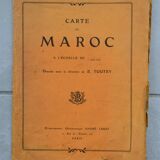
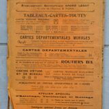
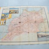
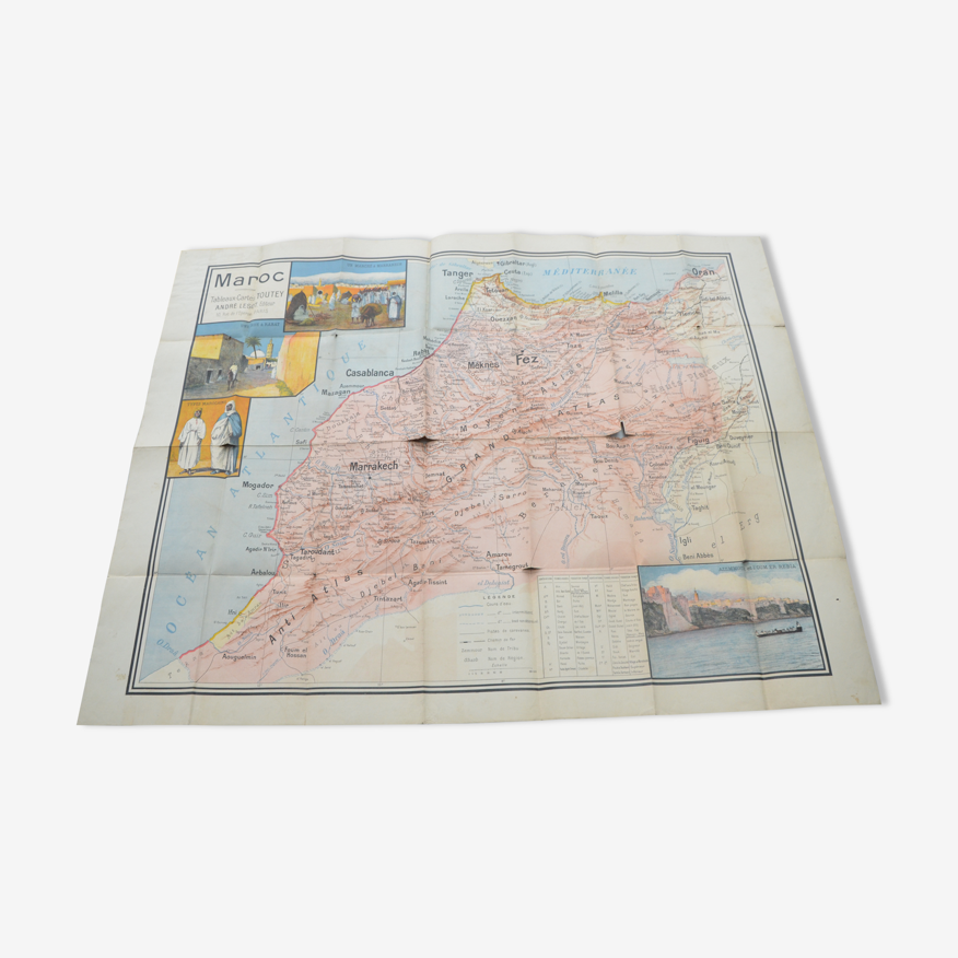
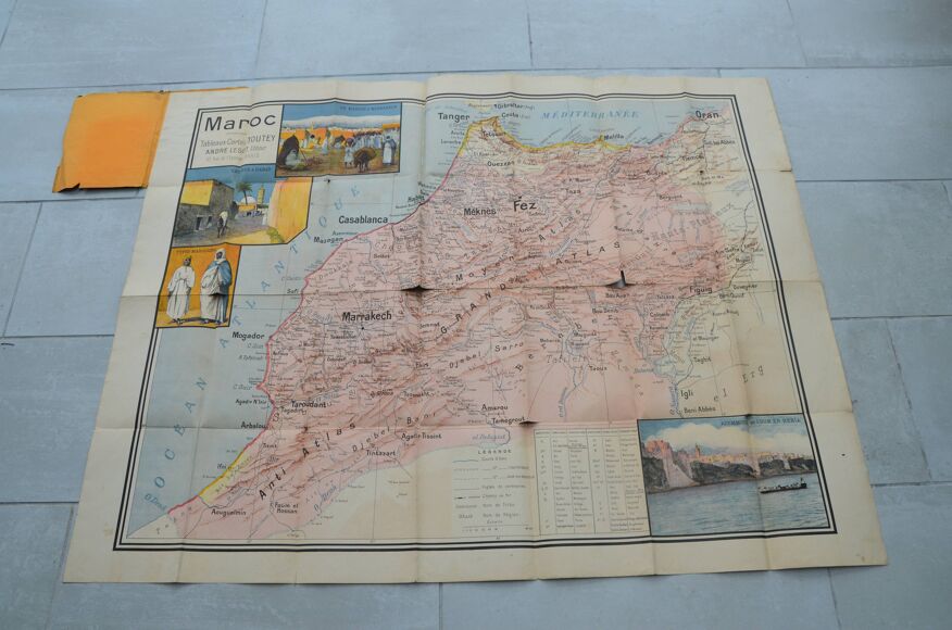
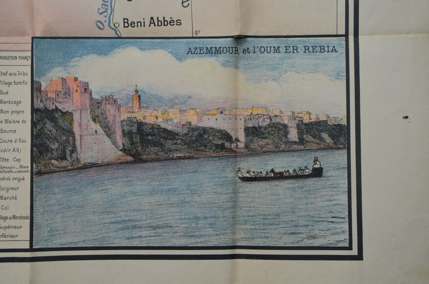
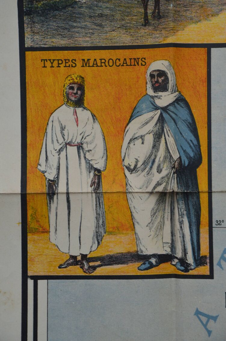
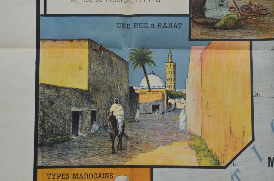
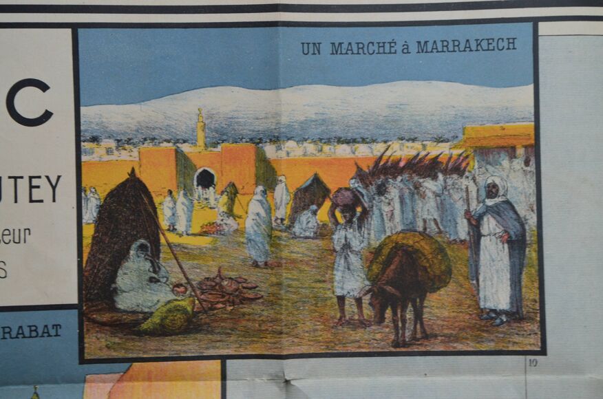
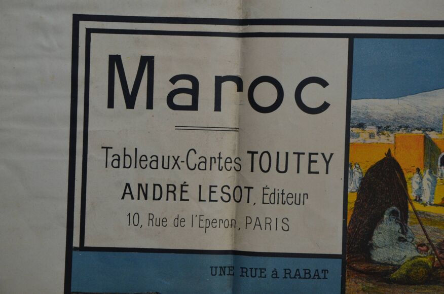
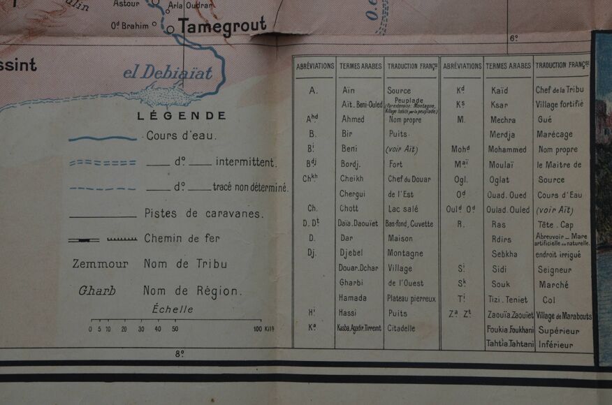
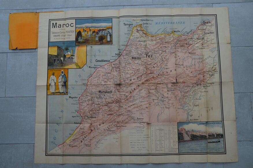
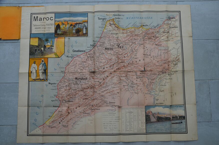
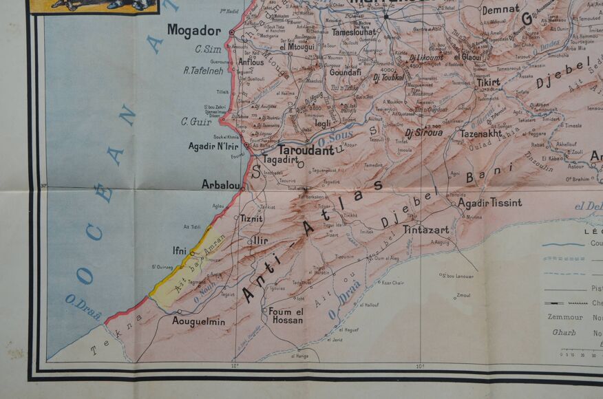
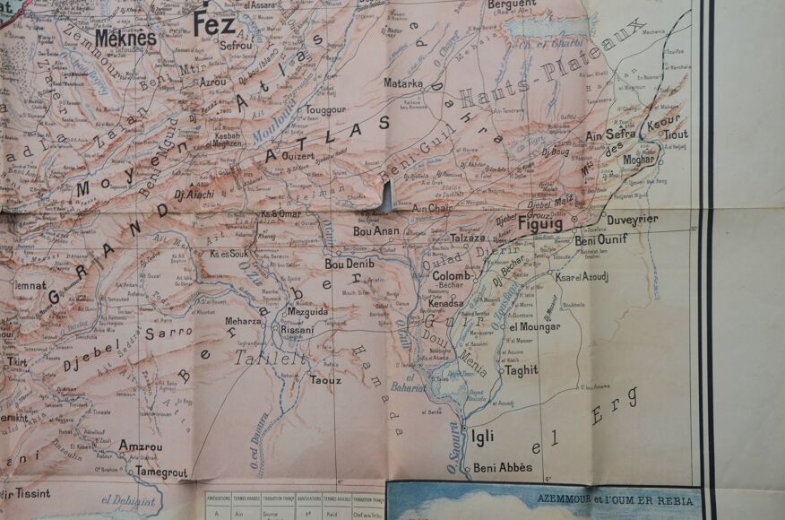
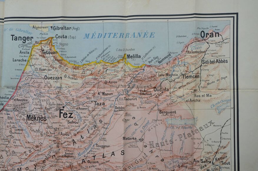
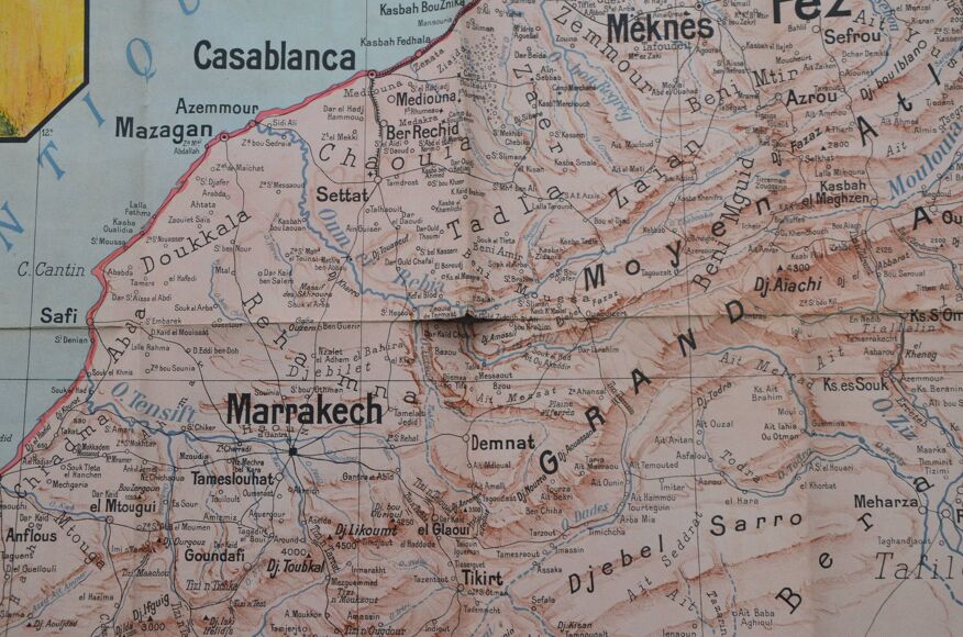
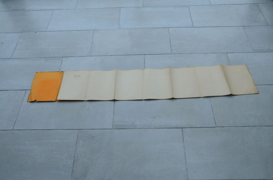
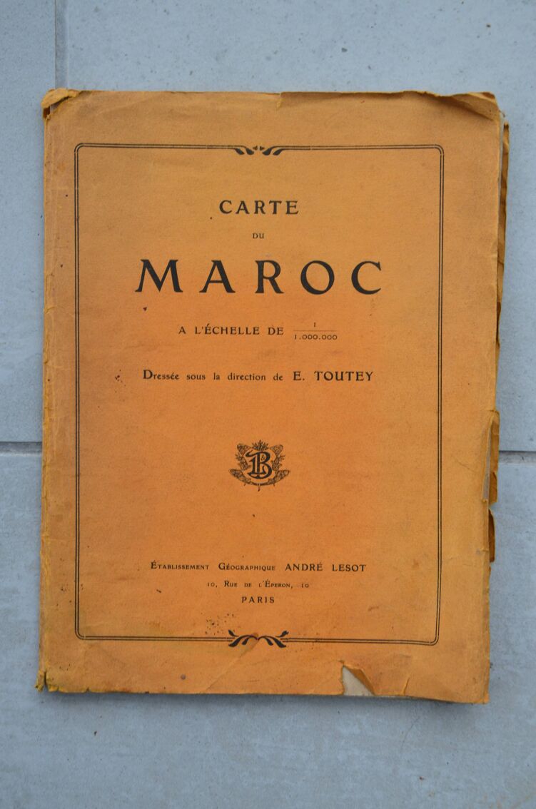
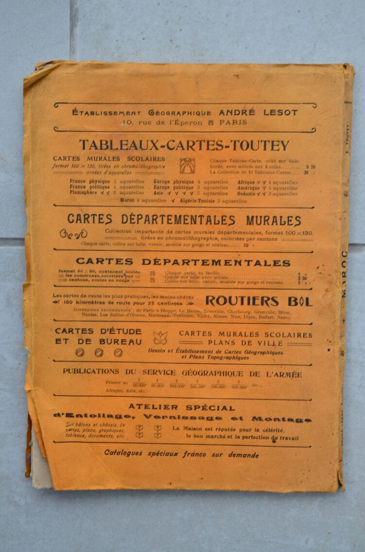
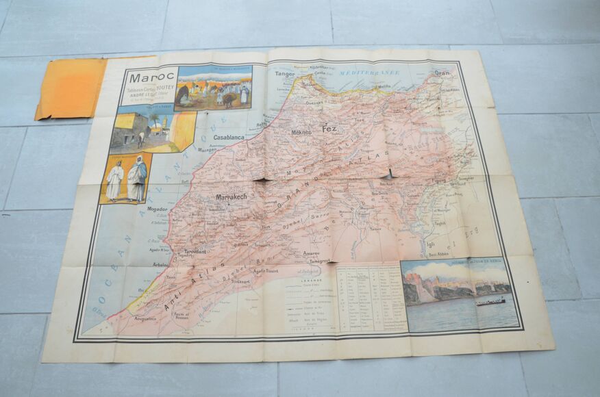
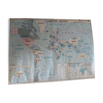
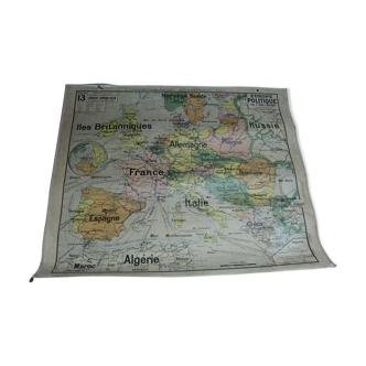
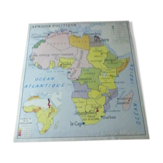
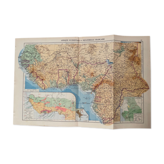
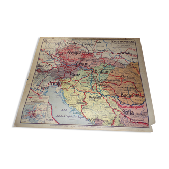
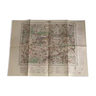
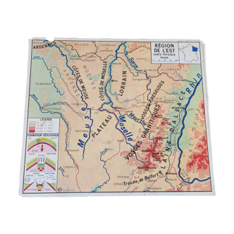
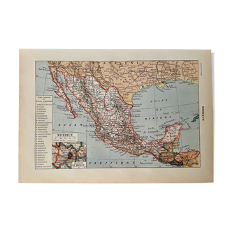
That's one hell of a piece of history I'm presenting here! Belle et grande carte scolaire en couleurs du maroc, édition toutey, 1913. Lithograph printed in color. The map is 122cm by 97cm. It has damaged places. Once folded it is as big as a school notebook. It was drawn up under the direction of Émile Toutey, according to the most recent documents of the expeditionary force, and with the benevolent assistance of Jacques Ladreit de Lacharrière, teacher and author of several books on Morocco. The course of rivers, river movements, land movements, mountain ranges, major peaks, important passes are listed, as well as the names of major regions, territories of the main tribes, cities, villages, markets, communication routes and tracks. A Franco-Arabic lexicon accompanies the map and explains the geographical terms specific to Muslim countries. Four watercolors illustrate the map: market in Marrakech, street in Rabat, Moroccan types, and view of the city of Azemmour, and the Oum Errabiâ River. Colors may differ between the screen and reality. ----------------------------------------------------------------------------------------------------- I live abroad but from July 7, 2023 to September 30, 2023 I will be in France. Take the opportunity to order! ----------------------------------------------------------------------------------------------------- If you want to buy several items at the same time, let me know: I recalculate the shipping costs and refund the overpayment. ----------------------------------------------------------------------------------------------------- For this precious and expensive item I only offer colissimo delivery. Always with a view to preserving our planet, I only mail packages once a week. If the order is urgent, please contact me!
Ref. : 7VPGKVEY
- Color :
- multicolour
- Material :
- paper
- Style :
- vintage
4.93 ()
Return your item within 14 days
Cherry-picked items
Carrefully selected sellers
100% secured payment