
Page 1 of 6
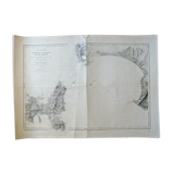
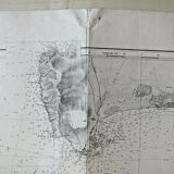
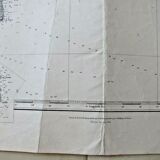
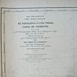
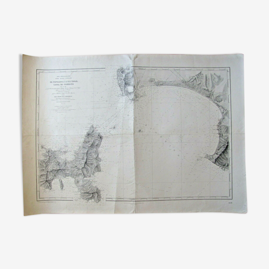
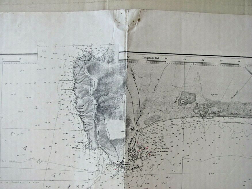
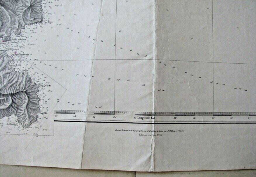
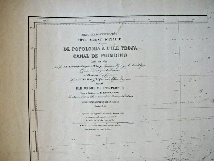
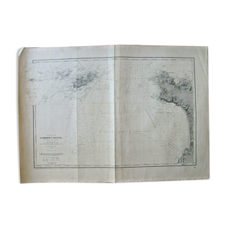
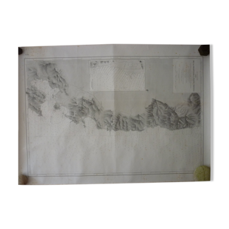
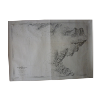
Nautical chart - Elba Island - From Popolonia to Troja Island - Italy
€60 €80
- H74 x W105 x D1
- paper
- white
Professional
This seller has been carefully selected for their reliability and unique items. Let yourself be tempted.
4.62 ()
Description
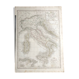
Nautical chart, chart raised in 1847. This map is a reprint from 1916. Engraved the line and the topography by e collin, son the letter by jm hacq and V carré.it measures 105 X 74.
Ref. : 26K8HTTJ
- Dimensions :
- H74 x W105 x D1
- Color :
- white
- Material :
- paper
- Style :
- classic
Raphael A.
Professional
This seller has been carefully selected for their reliability and unique items. Let yourself be tempted.
348 sales
4.62 ()

Return your item within 14 days
Cherry-picked items
Carrefully selected sellers
100% secured payment